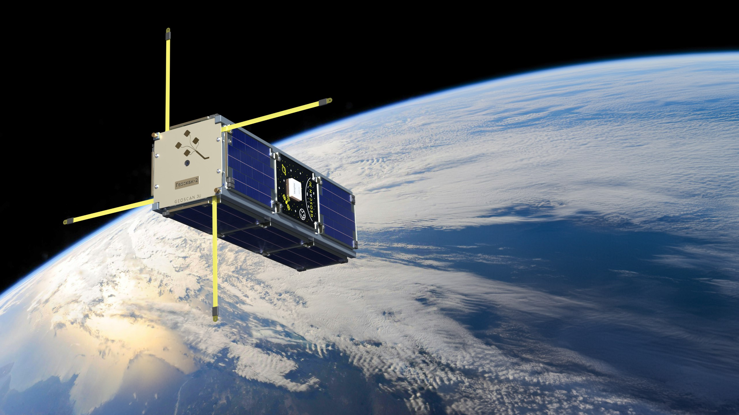
The "Geoscan-2" satellite has for the first time begun collecting data on the location of aircraft using Automatic Dependent Surveillance-Broadcast (ADS-B) technology. During the first two orbits around the Earth, the device received more than 1,700 messages from mainline aircraft that were in its radio visibility zone.
ADS-B technology allows tracking the coordinates, speed and direction of movement of aircraft, including drones. In the near future, an experiment is planned to receive signals from an unmanned aerial vehicle. This may expand the possibilities of monitoring airspace in areas without ground infrastructure.
The first activation showed a good result, which gives confidence in the prospects of using ADS-B receivers in small spacecraft and allows us to move on to the next stage - experiments on scaling the technology and integration into existing air traffic management systems.
The satellite was launched on July 25, 2025 as part of the Soyuz-2.1b launch vehicle mission and passed preliminary tests before being put into operation. All systems of the device, including power, communication and navigation, are operating normally.
In addition to "Geoscan-2", eight more small satellites on the "Geoscan 3U" platform and the "InnoSat16" cubesat were launched into orbit. They are designed to test communication technologies and remote sensing of the Earth. The data obtained from these devices can be used to develop new space services.
Read more materials on the topic:
An asteroid flew over the Irkutsk region on the night of August 8
A series of powerful solar flares continues: an M2.8 class event was recorded on Friday morning
Комментарии