The Karelian Research Centre of the Russian Academy of Sciences has involved drones in the study of the "Ladoga Skerries" National Park, in places where humans cannot reach. Over three days, a quadcopter with a multispectral camera made five flights and filmed a total area of 486 hectares: marshy areas, rocks, and other hard-to-reach areas.
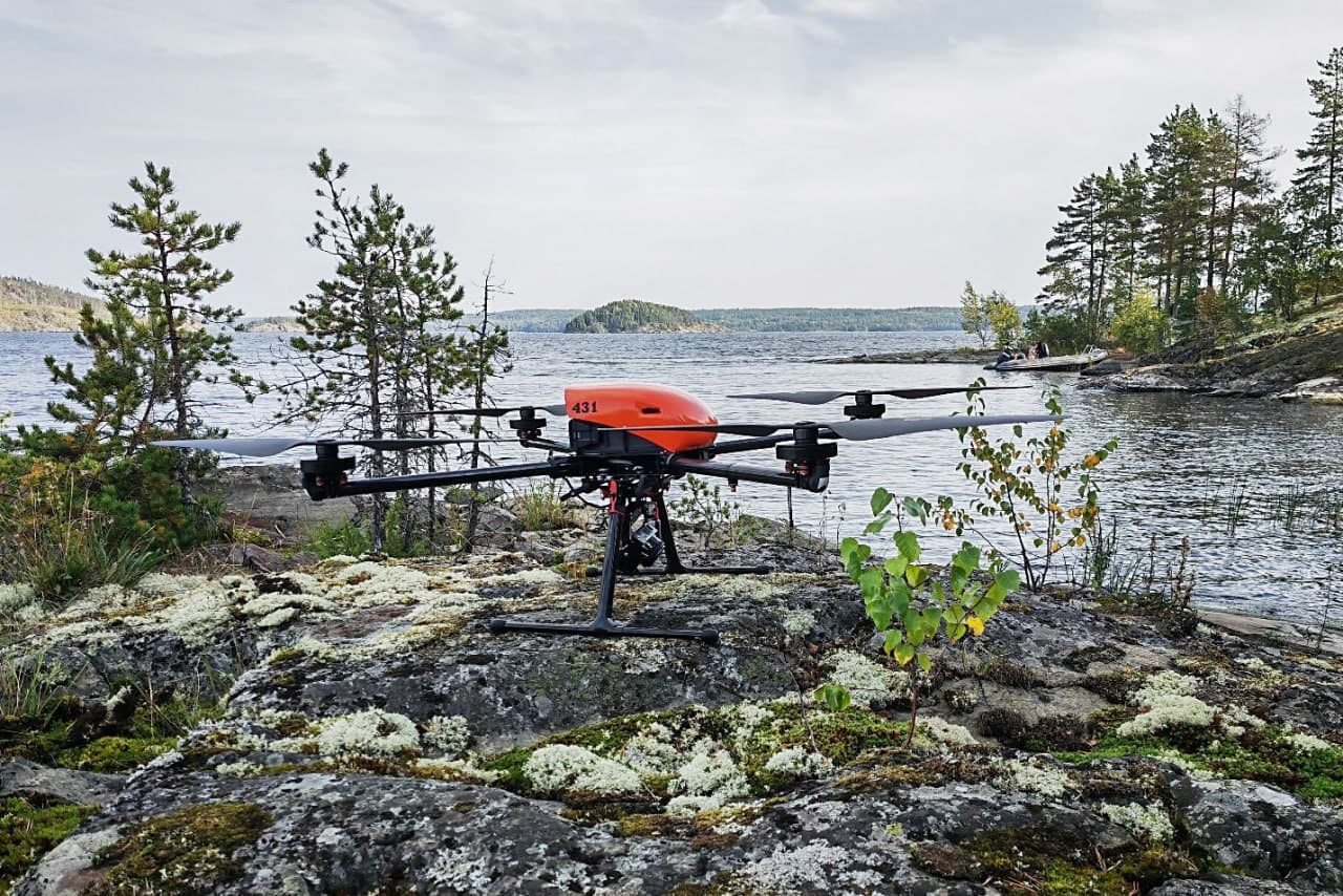
Specialists will combine the approximately 700 images obtained from aerial photography with data obtained from ground-based research and remote sensing data, large-scale spectrozonal and lidar surveys. An orthophoto plan and a digital terrain model will be created on this basis. Scientists will receive material for analyzing vegetation types and landscape features of the national park.
Earlier it became known that more than 60 drones will be sent to protect the forests of the Tyumen region. They will help catch poachers, detect fires, and detect the discharge of liquid fuel in forestry areas.
Read materials on the topic:
Yoshkar-Ola Airport to get a new runway
Rostec showed how parts for Il-96, Il-76, MS-21 and SJ-100 are strengthened