In Labytnangi, five thermometric boreholes will be drilled by the end of 2026 to track temperature changes in soils in the natural environment. As the press service of the government of the Yamalo-Nenets Autonomous Okrug told TASS, data from the boreholes will supplement the interactive permafrost map launched on the region's unified cartographic portal at the beginning of the year. In parallel, several capital construction facilities in Salekhard and Labytnangi will be equipped with thermometric instrumentation.
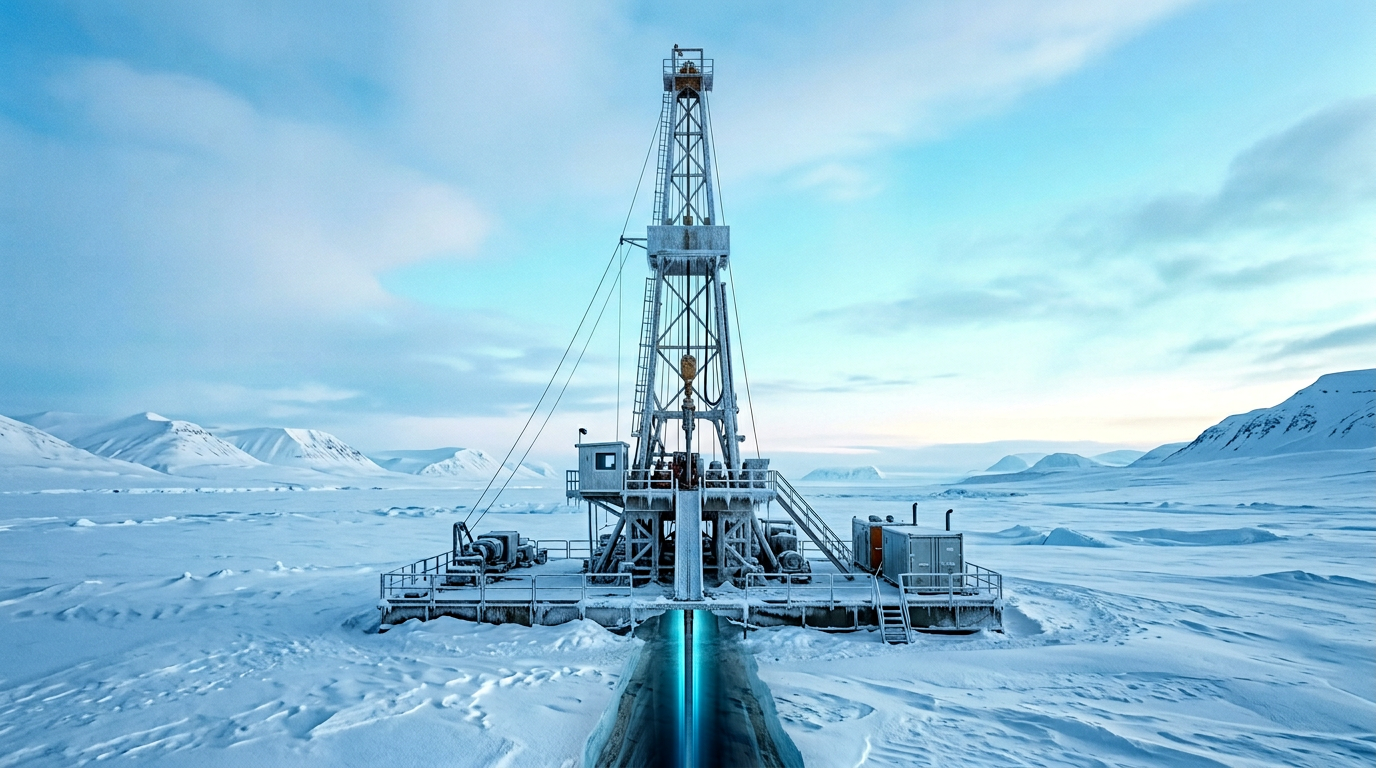
The map is based on a regional monitoring system being developed by the Arctic Research Center since 2018. The network includes about 70 background boreholes—drilled in conditions unaffected by anthropogenic impact—and more than 400 geotechnical ones installed in building foundations. The new five boreholes will expand precisely the background segment, making it possible to more accurately distinguish natural fluctuations in soil temperature from technogenic factors.
This year, monitoring of water bodies will for the first time be supplemented with Earth remote sensing technology using satellite imagery and shoreline surveys from unmanned aerial vehicles. This will provide data on the chemical composition of water and the condition of water protection zones, linked to the temperature fields of permafrost.
In 2023, Yamal became the first region of Russia to be integrated into the State Background Monitoring System for Permafrost Conditions.

Комментарии