The St. Petersburg Federal Research Center of the Russian Academy of Sciences (St. Petersburg FRCC RAS) has created an innovative system that ensures autonomous navigation of a swarm of unmanned aerial vehicles (UAVs). The development does not require additional equipment - only a video camera. This was reported by the press service of the institution.
We have created a prototype system for autonomous visual navigation of a swarm of drones, which, unlike its counterparts, can operate in conditions where satellite navigation (GPS, GLONASS) for one reason or another is either impossible to use in principle, or it does not allow you to accurately determine the location of the UAV. It is enough to use ordinary satellite images of the area without additional data - elevation maps, images of radio thermal or geophysical fields, and so on.
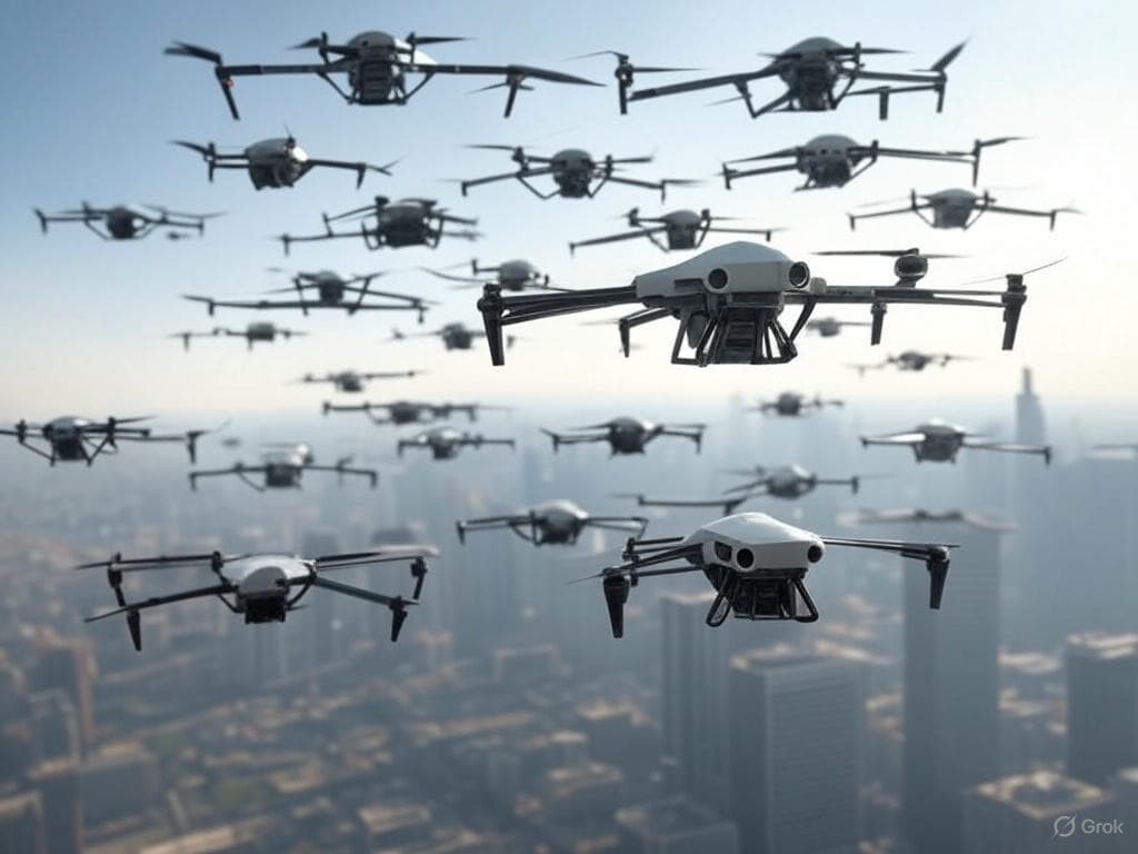
To solve large-scale tasks of various kinds, it is necessary to use a swarm of drones. This entails the need to involve a large number of operators and increases costs. Therefore, researchers focused on developing intelligent systems that allow drones to operate autonomously.
To position each drone, scientists used publicly available satellite images of the area. The prototype system uses artificial intelligence algorithms and navigates in space using visual data.
A similar image processing occurs during the drone's flight. Data from the two images are superimposed on each other, after which the coordinates of a specific UAV are automatically calculated. The software package builds a flight route, avoiding dangerous places.
Earlierwww1.ru reported that a thousand "Burevestniks" willbe delivered to the Russian military.
Read materials on the topic:
The factor of the advantage of Russian fighters over F-16, Mirage 2000 and Eurofighter is named
Marines protected tanks from kamikaze drones thanks to a clever technical solution
His Airship "Admiral": UAV carrier of kamikaze drones developed for the military