A digital service for hydrometeorological maps of the North Caucasus will be created at the North Caucasus Federal University (NCFU). This was reported by the university's press service.
The development will help to foresee future natural disasters in certain territories.
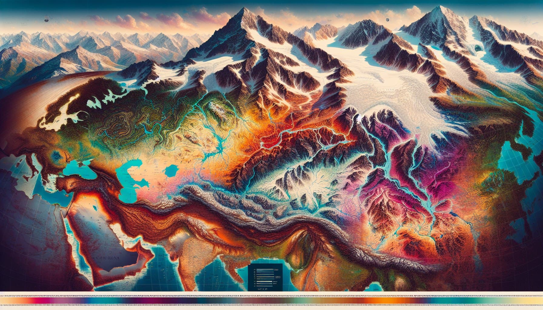
The digital service will promptly analyze climate data and provide reliable information about possible hydrological disasters in various territories. The digital model will be able to predict and display on the map areas prone to flooding and other adverse processes for the next 5-10 years.
It was noted that the service will help owners of construction companies, agricultural producers and other business representatives. It will make it possible to find safe areas for the construction of enterprises and other infrastructure.
This service will be a convenient interactive map created on the basis of big data analysis. We are currently working on a map for the North Caucasus, and in the future we plan to create such a map for all regions of Russia.
Interactive maps will analyze weather data for the last 15-20 years. Current weather forecasts will also be taken into account.
Earlierwww1.ru reported that global climate models stoppedworking without data from Russia.
Read materials on the topic:
A unique "scientific smartphone" for research of Earth and space is being developed in Russia
Floods, fires, objects from 70 cm - what and how the Russian "Resource-P" sees from space