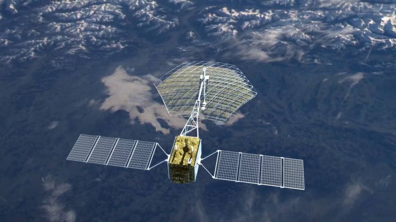
Every Russian can obtain ready-made images of the Earth taken by the Kondor-FKA spacecraft. They are stored in the Geoportal of Roscosmos database, according to the press service of the state corporation.
You can order new images by studying the shooting routes from the satellites of the Russian orbital group.
The Kondor-FKA satellites are used to photograph bridges, roads, water areas, and regions. Photos will be available after registration on the Geoportal.
Kondor-FKA shooting modes:
- detailed spotlight with a resolution of 1 m
- detailed continuous with a resolution of 2-3 m
- overview with a resolution of 6 to 12 m
- interferometric (based on radar data, it helps to create digital models of the territory)
The Moscow Scientific Center for Operational Monitoring of the Earth (NTS OMZ, part of the Russian Space Systems holding) has been appointed responsible for data processing.