The branch of PPK "Roskadastr" in Kuzbass has begun to actively use drones for carrying out cadastral works of federal significance. The introduction of drones allows for highly accurate determination of real estate object coordinates and timely updating of area plans.
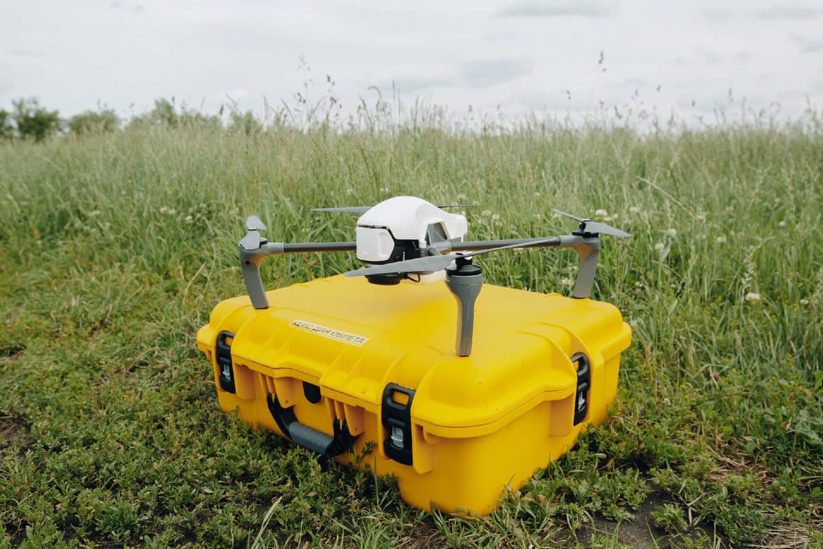
Images obtained from drones make it possible to clarify the boundaries of land plots, identify new buildings, correct errors in the state real estate register, as well as record cases of land grabbing and its inefficient use. This makes the work of cadastral services more efficient and transparent.
Branch Director Andrey Ermolin noted that the use of unmanned aerial vehicles is becoming a modern and relevant method of remote sensing of the earth for the purposes of land management and cadastre. After processing the images obtained from the air, it is possible to create not only orthophotoplans, but also three-dimensional models of the area.
Such 3D models of buildings allow you to accurately determine their spatial position in the coordinate system, calculate the area, height and number of floors. All this significantly reduces the cost of time and resources compared to traditional methods of field measurements.
Read materials on the topic:
Will protect forests from fires: a new drone rescuer has been created in Krasnoyarsk
Roscosmos and Geoskan are testing "dome communication" from drones