The Kalashnikov concern has developed a new unmanned aerial optical navigation system (BONS) for unmanned aerial vehicles (UAVs) SKAT 350 M, providing navigation without a satellite navigation system.
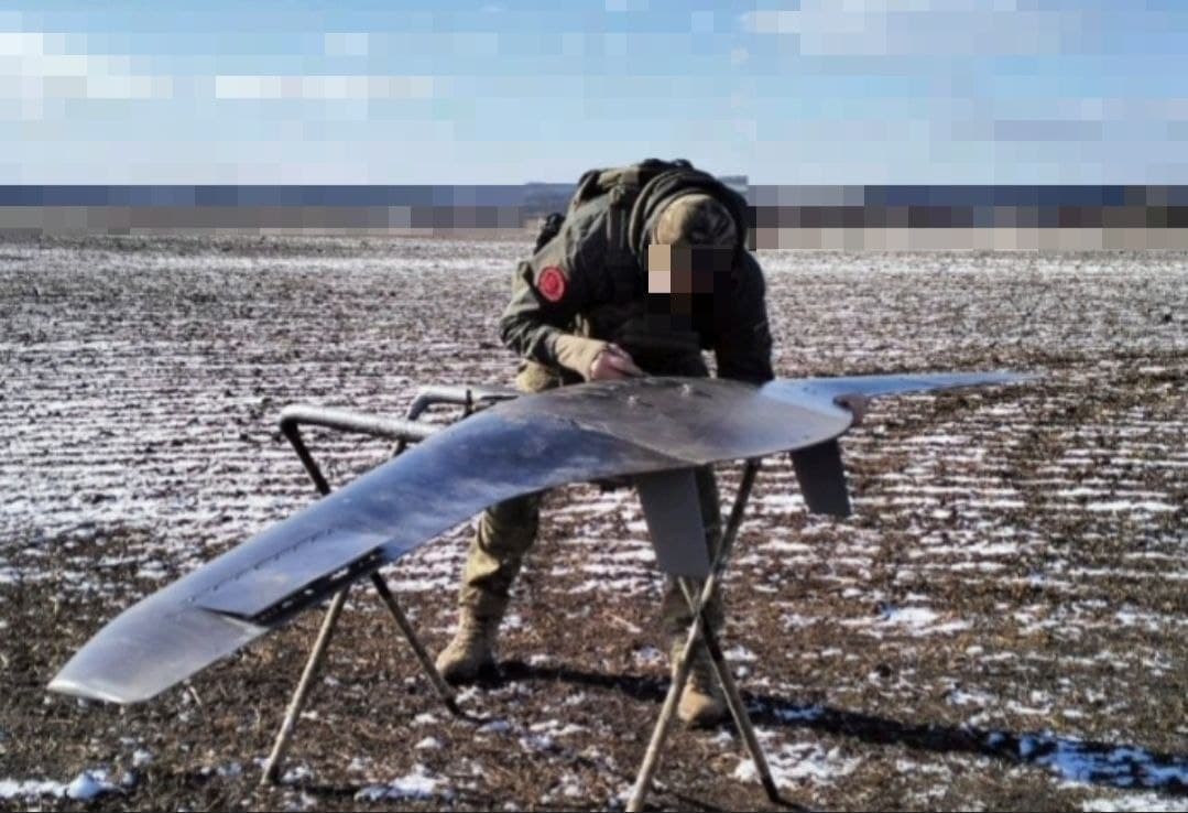
BONS is used in conjunction with an onboard inertial navigation system, correcting it and reducing the influence of the "drift error".
The development is designed to determine the own geographical coordinates of the drone by the image of the underlying surface. According to the calculation results, it issues the position of the carrier, the angle of drift, the ground speed of the flight and transmits all the necessary information to the automatic control system of the carrier.
The maximum take-off weight of the SKAT 350 M complex is 15 kg. The wingspan is 3.2 m, in flight the UAV can spend up to 240 minutes, while developing a speed of up to 120 km/h.
The range of the video channel is from 70 to 100 km. The deployment time of the complex does not exceed 15 minutes. The complex takes off with the help of a pneumatic catapult, landing - by parachute in automatic or semi-automatic modes.
Earlierwww1.ru reported that the innovative Trident of Retribution fighter drone with tentacles was first captured on video.
Read also:
The technical appearance of the new Osvey aircraft will be known in April
On guard of the perimeter: the characteristics of the new Phara-VR radar were revealed