Translated with AI from the Russian original.
Designers from Innopolis University proposed a scheme for a multi-position airborne radar that should form images with a resolution of up to 20 cm in azimuth in the forward viewing zone. The main difference of the development is the simultaneous operation of several small radars.
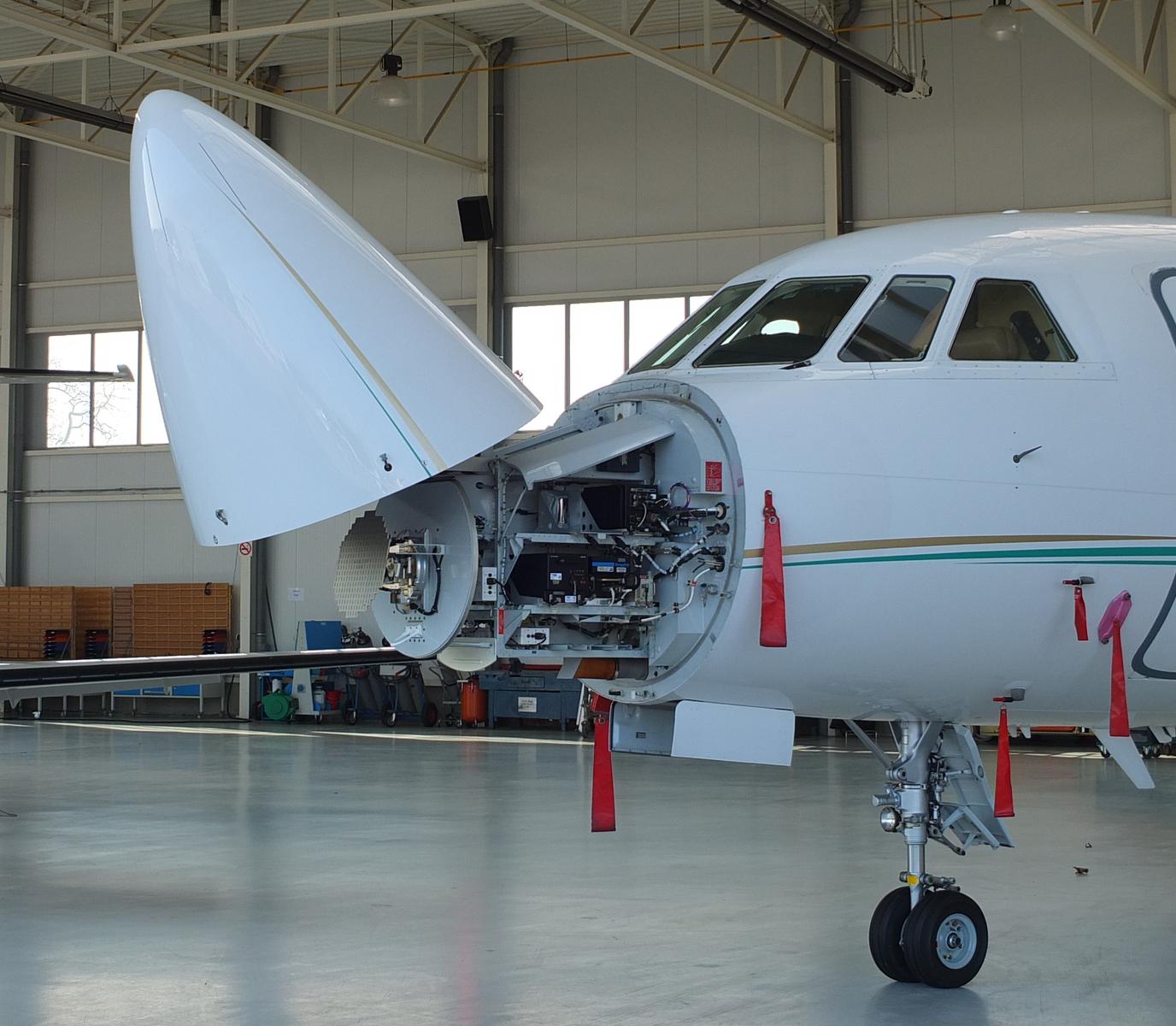
One active component transmits a signal, while one or more passive components receive reflections from other angles. Thanks to this, the system obtains more Doppler information and is capable of forming a more detailed image of the Earth's surface directly along the carrier's direction of movement.
This is especially important for aircraft where conventional side-looking radar has limitations. The new scheme allows obtaining a stream of frames precisely in the forward zone, without forcing the aircraft or drone to perform complex maneuvers.
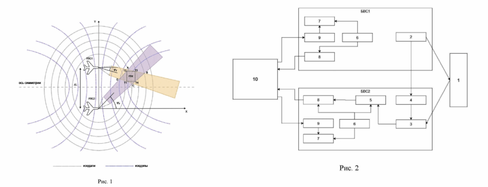
With a base between components of 100 m, a flight altitude of 150 m, and carrier speeds of 28 m/s, the resolution reaches 0.20 m in azimuth and 0.27 m in range. For previously known forward-looking solutions, the authors indicate an azimuth resolution of about 1 m or worse.
Partial aperture synthesis is used for image formation. Instead of one large frame, the system creates a series of sub-aperture images, sequentially processing reflected signals and navigation data.
Read more on the topic:
Never miss our newsAdd this site to your preferred sources to see us more oftenAdd on Google