The first production UAV "Geoscan 701" with the Russian "T-40" engine was added to the register of the Ministry of Industry and Trade
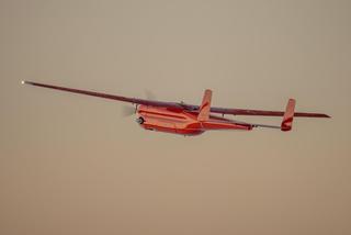
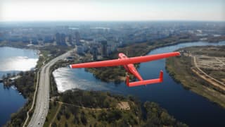
GC "Geoscan": The aircraft-type drone is not inferior to foreign analogues in its technical characteristics
GC "Geoscan": The aircraft-type drone is not inferior to foreign analogues in its technical characteristics
The project was created with the support of Geoscan Group and became the best at the All-Russian competition

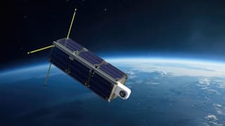
The constellation will be placed in low and distant orbits, with the first spacecraft being the "Geoskan 16U" platform
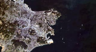
A 4-meter-per-pixel resolution camera captured ultra-clear images of the US and Japan
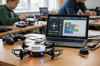
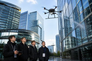
The system allows programming the drone and working with data without the cloud, providing local on-board computing
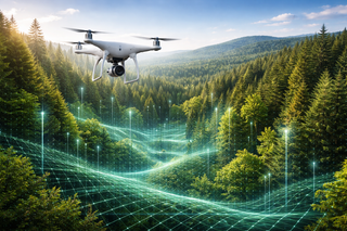
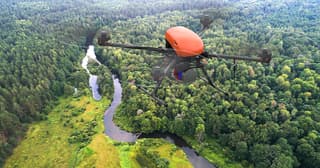
Algorithms recognize tree species, measure height, and help control forest restoration
The company tested the system on three drone models and integrated it into a cloud-based flight management platform

Educational drones and ground robots will be able to work in a single ecosystem
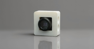
New camera turns drone into a flying hyperspectral laboratory complex
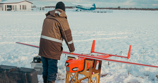
Geoscan drones surveyed an area of 37,000 sq. km in 7 months

The company was sanctioned by the United States in June 2024

Discounts for volume of supplies allow the company to compete with Chinese manufacturers
3 Billion Rubles to be Allocated for Project Implementation
Experts expect a reduction in the agricultural drone market