Russia has successfully completed the world's largest aerial photography project using unmanned aerial systems (UAS), carried out by the Geoscan Group of Companies for the Government of the Moscow Region. The project surveyed an area of over 37,000 sq. km of the region, setting a world record for the area of aerial photography in a single field season.
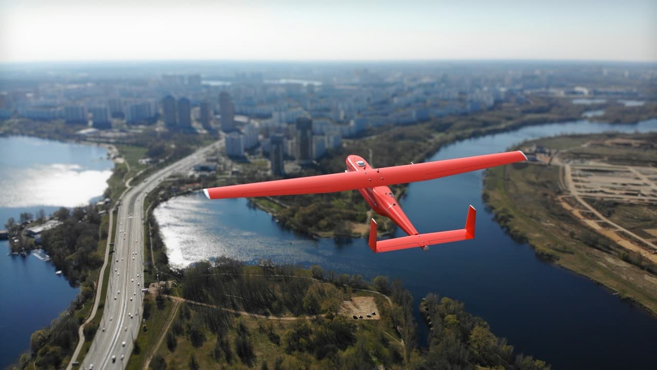
The project was carried out using UAS models "Geoscan 201", "Geoscan 701" and "Geoscan Gemini". The resulting photographs with a spatial resolution of up to 5 cm/pixel made it possible to create a digital orthophoto plan of the territory of settlements at a scale of 1:500, which will be used to update the database of the Moscow Region geoportal.
Field work lasted seven months. Geoscan specialists surveyed an average of 200 sq. km per day. The maximum area per day was 1,000 sq. km. The total flight time of drones was 4.5 thousand hours, during which over 5 million photographs were taken. This is a significant breakthrough compared to previous projects, when it took two years to survey the Moscow Region on a smaller scale of 1:2000.
For flight safety, the Nebosvod UTM system, integrated with the Geoscan Planner flight control station, was used for the first time. This system allowed tracking the position of drones in the air and preventing possible conflict situations.
The previous aerial photography area record was also held by Geoscan, which in 2017 surveyed 25,000 sq. km for a project to create a 3D model of the Tula Region.
Read related materials:
Russian Geoscan drones with quantum magnetometers have learned to find gold deposits
Geoscan Develops Jamming-Resistant UAVs with Artificial Intelligence for Complex Operations
Drone manufacturer Geoscan talks about working under Western sanctions
Комментарии