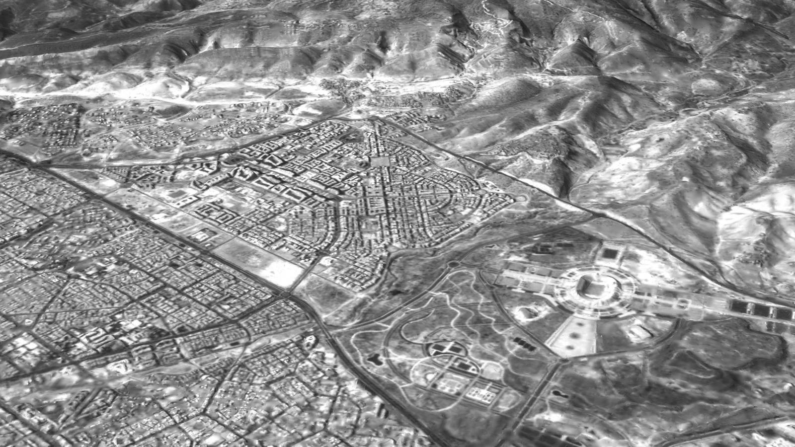
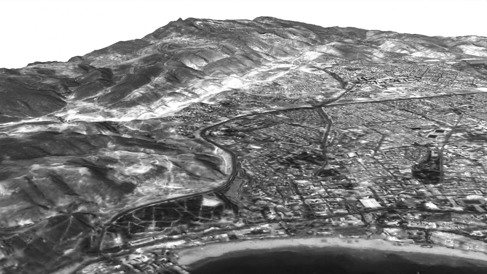
"Geoscan" created a three-dimensional model of the city of Agadir in Morocco using images from the small "InnoSat16" satellite. Specialists combined a series of frames using photogrammetry – a technology that allows reconstructing the shape of objects and terrain from photographs.
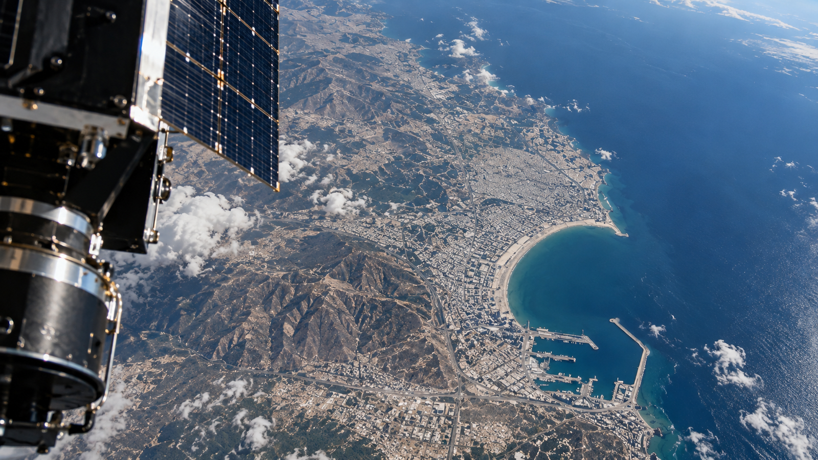
From the same images, a smooth video was created, producing the effect of flying over the region. The company considers the result confirmation that the spacecraft's guidance, orientation, and stabilization systems allow obtaining data of sufficient quality from orbit for further territory analysis.
"InnoSat16" was launched from the Vostochny Cosmodrome on July 25, 2025. It became the first Russian CubeSat 16U satellite launched into orbit. Its main payload is a panchromatic camera manufactured by NPO "Lepton", which photographs the Earth's surface in black and white with high detail. From an altitude of about 500 km, its resolution reaches 2.5 meters per pixel.
On board are also two "Cyclops" cameras developed by "Geoscan" itself. Initially, they were created to monitor the satellite's systems, but they are capable of taking photos and videos of the Earth and even transmitting video streams from orbit.
For us, this means readiness to work with full-fledged satellite constellations – all that remains is to create and launch the necessary spacecraft into orbit.
The company has been developing its space division since 2021. In total, "Geoscan" has created and launched 17 small satellites into orbit for scientific experiments, testing communication technologies, and Earth remote sensing.
Read more on the topic:
Never miss our newsAdd this site to your preferred sources to see us more oftenAdd on Google