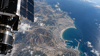
City in Morocco assembled from orbital images: Russian satellite helped create 3D model of Agadir
"Geoscan" used a series of shots from the small "InnoSat16" spacecraft and turned them into a volumetric terrain model
"Geoscan" used a series of shots from the small "InnoSat16" spacecraft and turned them into a volumetric terrain model
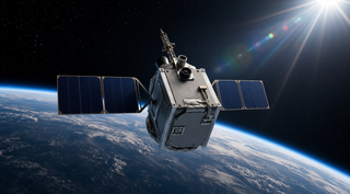
The main task was to check the operation of the spacecraft's orientation and stabilization system