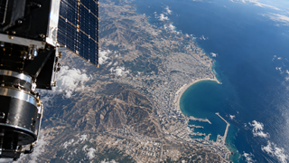
City in Morocco assembled from orbital images: Russian satellite helped create 3D model of Agadir
"Geoscan" used a series of shots from the small "InnoSat16" spacecraft and turned them into a volumetric terrain model
"Geoscan" used a series of shots from the small "InnoSat16" spacecraft and turned them into a volumetric terrain model
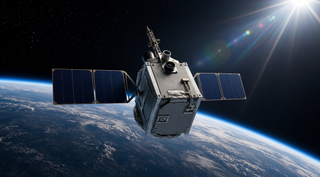
The main task was to check the operation of the spacecraft's orientation and stabilization system
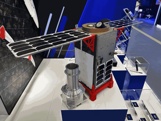
The launch of the first cubesat is scheduled for the summer of 2025