Geoscan company presented an autonomous navigation system for drones, which allows continuing flight even without a satellite system signal. Instead of familiar coordinates, the drone navigates using an image from an onboard camera and a pre-prepared terrain map.
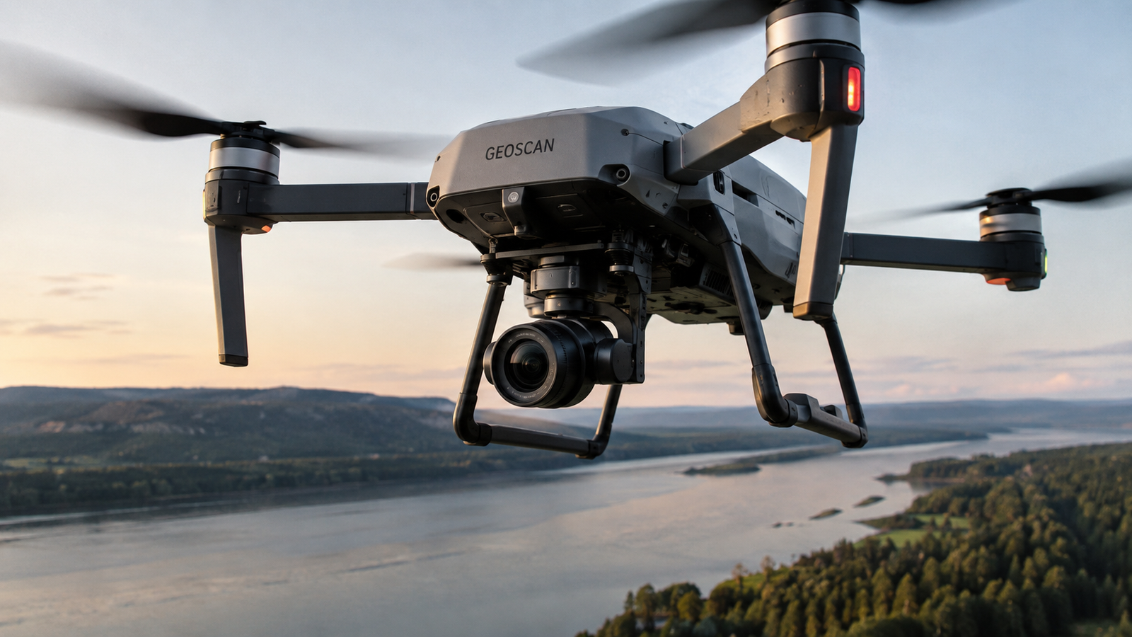
The system in real-time compares what the camera sees with a map of characteristic objects and uses them to determine the aircraft's position and altitude. This is especially important where satellite navigation is unavailable, suppressed by interference, or replaced by a false signal.
During the Dronosapiens Games competition, the Geoscan 201 drone autonomously took off, followed a set route, and returned without manual operator adjustments. Following three days of testing, the solution was recognized as the best in the "Autonomous Navigation" category.
The developers expect to use the technology for aerial photography and territory monitoring over distances up to hundreds of kilometers. Currently, Geoscan has already begun pilot operation of the system and is preparing a night version that can navigate using images from a thermal imager.
The company notes that the need for such technology arose due to regular satellite navigation interference, radio signal suppression, and spoofing – replacing real coordinates with false ones. Geoscan considers autonomous navigation one of the key technologies for the further development of unmanned aviation.
Read more on the topic:
Never miss our newsAdd this site to your preferred sources to see us more oftenAdd on Google