Russian engineers have completed the development of a drone navigation system and have begun equipping drones with it. The drone does not need GPS or radio signals to determine its position, explained Dmitry Kuzyakin, chief designer of the Center for Integrated Unmanned Solutions.
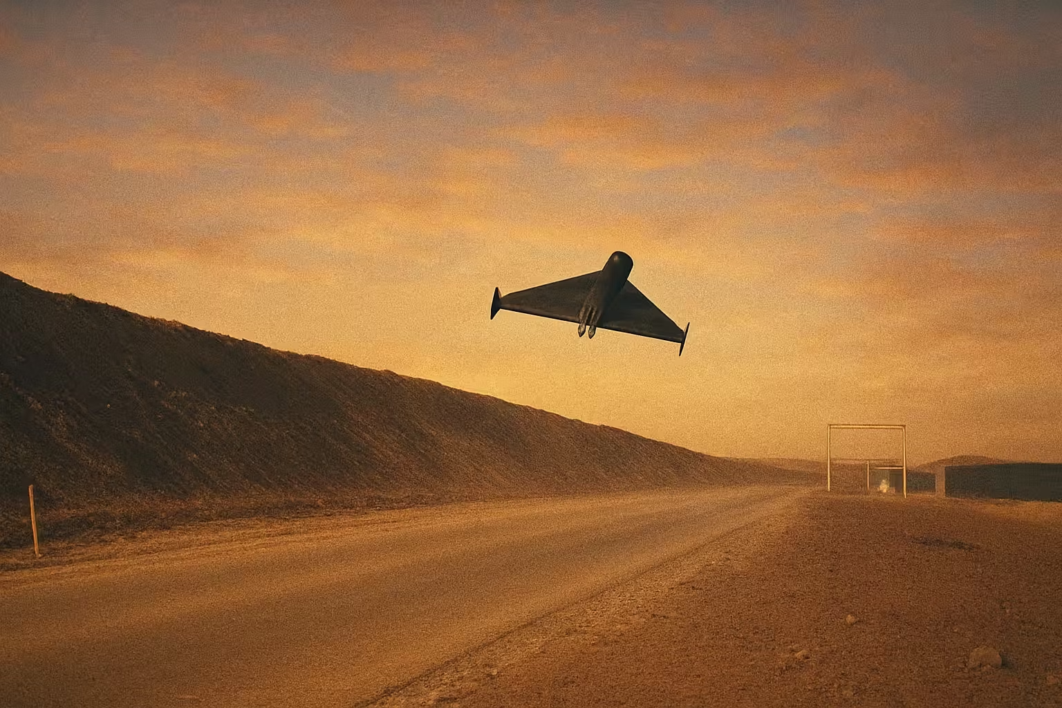
Onboard cameras continuously capture the surface, and a neural module in real-time compares the image with pre-loaded satellite images or aerial photography materials.
The device is capable of moving and performing tasks entirely without antennas. It does not require direct control, GPS, or other external reference points.
The technology is called visual odometry. A similar principle was used by the Martian helicopter Ingenuity. Lacking GPS, the apparatus determined its own movement by changes in the image of the surface beneath it.
Also, scientists from KNITU-KAI are developing computer vision algorithms that allow drones to navigate using circular markers on the ground — especially during the critically important landing phase when satellite signal is lost.
Read more on the topic:
Never miss our newsAdd this site to your preferred sources to see us more oftenAdd on Google