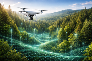
Drones and AI Monitor the Forest: Geoscan Conducts Russia's First Digital Survey
Algorithms recognize tree species, measure height, and help control forest restoration
Algorithms recognize tree species, measure height, and help control forest restoration
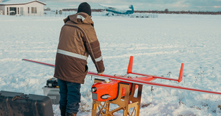
The company tested the system on three drone models and integrated it into a cloud-based flight management platform
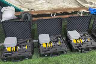
New technology creates a communication zone with a radius of 40 km
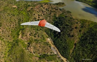
Geoscan and Oduvanchik drones are used to combat fires and illegal logging