Translated with AI from the Russian original.
Researchers from MIPT have developed an onboard intelligent module that automatically converts video streams from UAV cameras into a structured object scene with observation history and georeferencing. The development will help operators inspect industrial facilities and assess the consequences of accidents more quickly and efficiently, the university's press service reported.
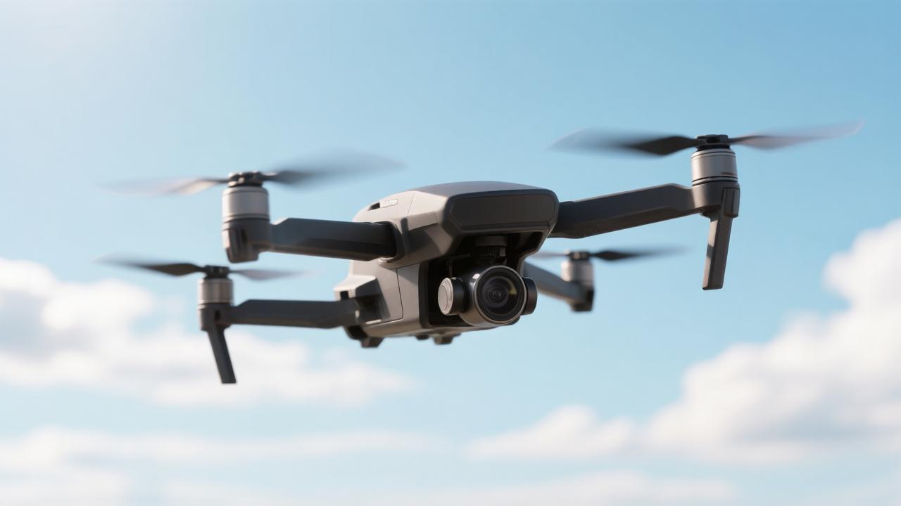
Instead of simply detecting objects in the frame, the system maintains a continuous chain of segmentation, tracking, re-identification, georeferencing, and object memory. The value arises not from each link individually, but from their combination. Instead of "there's something in the frame," the operator receives a record: at 10:15, an object of a certain type was detected, it was observed for several seconds, and its position is linked to the UAV's coordinates.
The system maintains an observation history for each object and can answer complex queries: how long was the object observed, did it move, where was it on the map, how reliable is the recognition result. Artificial intelligence not only segments objects and determines their classes but also combines this data with information from navigation systems, making the system more reliable in real-world conditions.
Each object receives a digital "passport": type, mask in the image, track ID, observation time, coordinates, and vector representation for repeated search even with changes in lighting and angle. The module can obtain a reference image of an object and, during flight, check if one of the observed objects resembles the given sample. With a confident match, the object is recorded in the scene memory and included in the report. Such a system is especially useful for monitoring territories, analyzing accident consequences, and searching for a specific target.
Read more on the topic:
Never miss our newsAdd this site to your preferred sources to see us more oftenAdd on Google