Russian company VA Technologies has introduced an autonomous navigation system "Sova" for unmanned aerial vehicles. The development allows drones to navigate in space without GPS/GNSS signals, external communication, and up-to-date satellite maps, but after its release, it needs to be seen in real flight conditions.
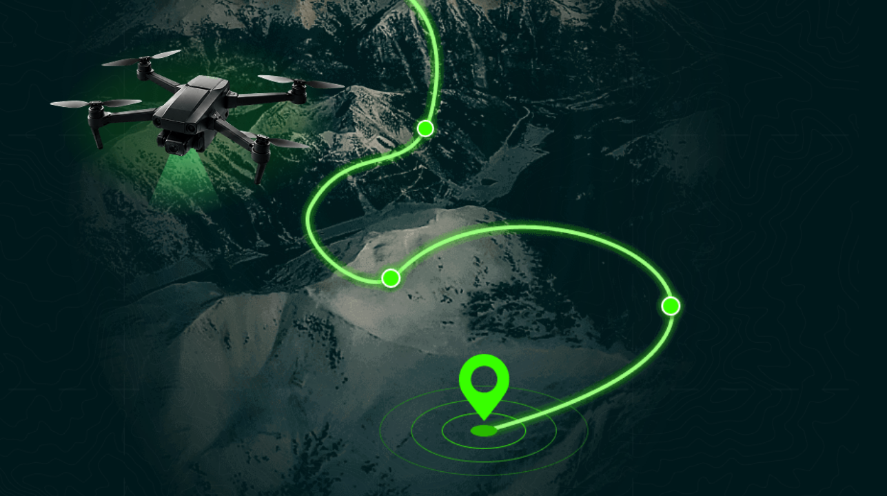
The system continuously compares the image from the onboard camera with a satellite image of the terrain and instantly determines the coordinates of the device. According to the developers, it does not accumulate positioning errors, so accuracy does not decrease even over long distances.
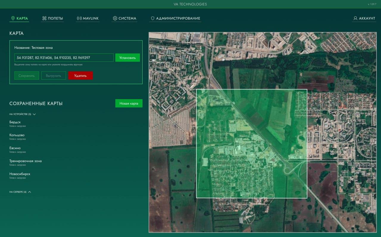
According to its creators, "Sova" works where there are no clear landmarks — over a field, forest, or desert. It is claimed that the system is resistant to significant discrepancies between the map and reality: seasonal changes, snow, changes in vegetation, or the appearance of new objects do not disrupt navigation. The model weighs about 60 MB and operates in real-time on a single-board computer processor like the Orange Pi 5, without the use of expensive GPUs or specialized NPUs.
VA Technologies notes that the system is ready for installation on drones, but it has not yet been demonstrated in real flights. The company expects interest from UAV operators and plans to conduct full-scale tests in the near future.
Read more on the topic:
Never miss our newsAdd this site to your preferred sources to see us more oftenAdd on Google