The InnoVtol-3 vertical takeoff unmanned aircraft, developed by Russian specialists at Innopolis University, has received an updated CHCNAV AlphaAir15 airborne laser scanner. Thanks to it, the drone is capable of capturing an area of up to 100 m² in a single flight, even in extreme weather conditions.
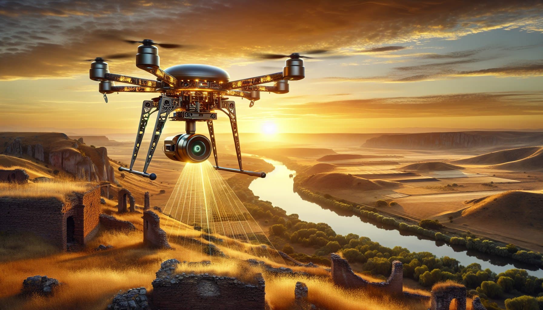
Equipped with a CHCNAV AlphaAir15 lidar, the drone is capable of scanning objects from a height of up to 700 meters with a frequency of about two million pulses per second.
This makes the complex suitable for small-scale and highly detailed aerial surveys, especially in areas with varying terrain and dense forests.
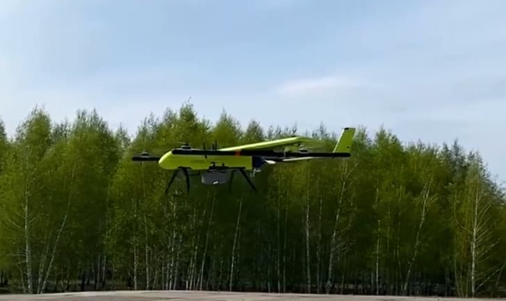
Equipped with a calibrated 26-megapixel camera and an AlphaAir 450 airborne laser scanner, the drone is suitable for topographic surveys, forest and agricultural surveys, and power lines.
Earlier, www1.ru reported that unmanned aerial delivery and aerial photography will start operating in Innopolis.
Read materials on the topic:
Drones will start monitoring the pledged property of Russians
Unmanned vehicles for public utilities will begin testing in Skolkovo in 2024
Drone-policeman is already a reality
Комментарии