Translated with AI from the Russian original.
By 2032, Roscosmos must provide Rosreestr with high-resolution satellite images for mapping Russian territory and developing the National Spatial Data System. This was announced at a Federation Council meeting by Oleg Skufinsky, the head of Rosreestr.
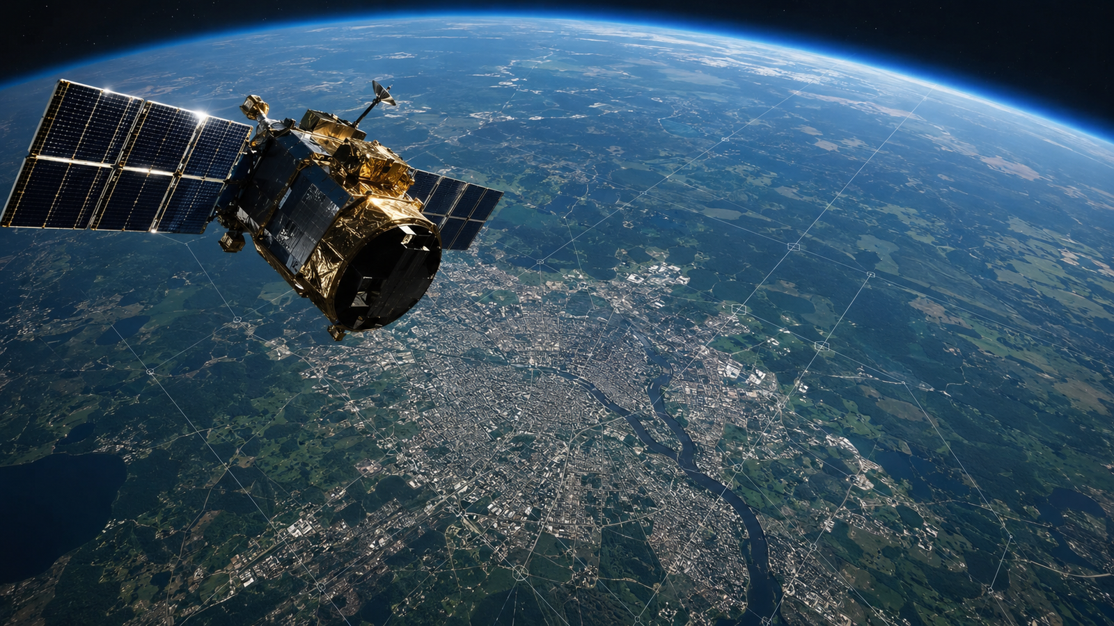
According to him, on April 9, Rosreestr and Roscosmos signed a document under which the state corporation will supply the agency with Earth remote sensing data according to an agreed schedule.
Roscosmos reliably promises us to supply documents, to which high-resolution satellite images are attached, in a timely manner and according to a defined schedule.
This refers to images with a resolution of 1 meter and higher, which are especially in demand for densely built-up areas. At the same time, Rosreestr also needs images with up to 20-centimeter detail. Such technologies already exist in the world, but in Russia, they are only planned to be obtained in the long term – by 2032.
Skufinsky noted that within the framework of the agreement, Rosreestr will be able to receive data not only from Russian specialists but also from friendly countries. He cited China as an example.
The obtained satellite images will be used through the NSDS platform. Rosreestr plans to provide mapping services to federal and regional authorities, as well as businesses, based on these images. This should increase the accuracy of mapping data and simplify work with spatial information across the country.
Read more on the topic:
Never miss our newsAdd this site to your preferred sources to see us more oftenAdd on Google