The monitoring of agricultural land in the Kaluga Region is carried out using satellite imagery and photographs taken by unmanned aerial vehicles. Artificial intelligence is actively involved in the analysis. This was stated by Dmitry Razumovsky, Deputy Governor of the Kaluga Region, Head of the Regional Ministry of Digital Development.
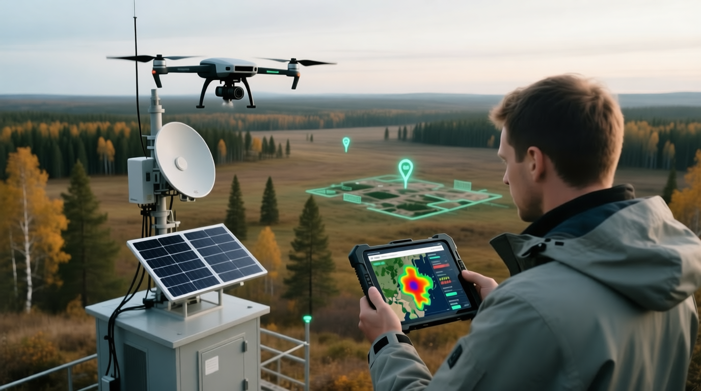
According to him, the system works as follows: first, a picture of the field is taken, then it is processed using a neural network. The algorithm helps to determine whether the land is being used for its intended purpose.
Accordingly, a deciphered data array is superimposed on those field maps with the definition of owners, participants, and areas are identified where arable land is not cultivated, or is not cultivated well enough. And this place will be for the work of control and supervisory bodies
The project serves as an example of the integration of advanced technologies into land management.
Read more materials on the topic:
- Neural networks for land monitoring began to be used in Moscow
- Roscosmos spoke about the Digital Earth project: it involves AI technologies
- AI will be taught to find fertile soils
Комментарии