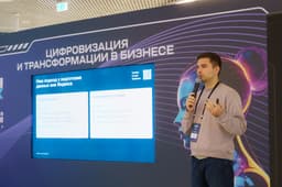
According to Anton Burmak, Executive Director of Steelspace, at a meeting of the interdepartmental commission on the use of the results of space activities, the data obtained from the device has good imaging and decoding properties.
The second satellite is planned for next year, the second to third quarter. Assembly will begin in the fourth quarter of this year at our own assembly plant in Moscow. Accordingly, our plans are to complete the creation of a group of nine devices by 2027.
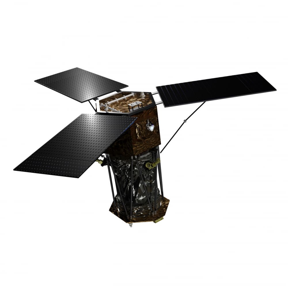
Steelsat is the first private group of ultra-high resolution Earth remote sensing satellites in Russia. The first of the group's satellites was produced in partnership with China, as Russia did not have cameras with the necessary resolution. However, otherwise the satellite is 95 percent domestic, and full localization is planned.
The Steelsat satellite is designed to obtain panchromatic and color (spectrozonal) images of the Earth's surface, with a spatial resolution of 0.5 m and a swath width of 12 km. It weighs 420 kg and can last five years. Its areas of application include:
- visual reconnaissance;
- critical infrastructure monitoring;
- cartography and cadastre;
- construction and environmental monitoring.
It can conduct operational satellite imagery without restrictions on areas, conduct various optical shooting modes: route, targeted and convergent. Steelsat also knows how to conduct operational reception and processing of remote sensing data at its own stations.
The Steelsat space system includes:
- 9 small remote sensing spacecraft (3 planes of 3 spacecraft each);
- a geographically distributed complex of ground-based facilities for controlling a group of small spacecraft and receiving target information;
- software products that provide a full cycle of receiving, processing and visualizing remote sensing data;
- Web-geoinformation platform "Steelportal" for working with the end consumer of products: a marketplace for remote sensing data and a GIS constructor based on artificial intelligence algorithms.
Read materials on the topic:
Russian Gazprom Starts Production of Smotr-V Satellites — What Is Known About Them
Russia Can Speed Up Data Transfer from Satellites Hundreds of Times
Russian Starlink from Bureau 1440 Already Transmitting Signals Between Satellites and to Earth