Strong earthquakes often occur suddenly, but in reality, the Earth's crust can "prepare" for an impact for decades beforehand. Scientists have long tried to understand whether it is possible to identify dangerous areas within tectonic faults where the energy of a future catastrophe accumulates. Now, researchers from MIPT and Innopolis University have created an algorithm capable of finding such zones even before a powerful earthquake.
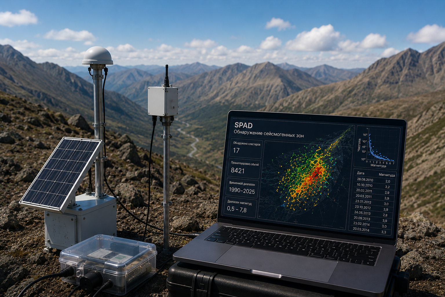
The development was named SPAD — Seismogenic Patches Detection. The algorithm helps identify the most dangerous areas of tectonic faults where the strongest earthquakes originate. In the future, this could improve disaster warning systems and help more accurately assess seismic risks in construction.
Scientists have long known that faults in the Earth's crust are very complex. Their surfaces have strong tectonic contacts that hold fault segments in place and prevent them from shifting. As a result, elastic energy accumulates within them for years, which is then suddenly released during a powerful earthquake.
Previously, such zones could only be identified after a catastrophe — based on the consequences of the earthquake that had already occurred. The new algorithm allows us to look inside the fault beforehand.
First, the algorithm cleans the data from interrelated events and aftershocks — tremors after strong earthquakes. After that, it searches for areas where background events cluster particularly densely. It is precisely these zones that the system considers potential sites for the origin of the strongest earthquakes.
The system operates fully automatically — without human intervention and without hints about where strong tremors have occurred before. SPAD independently analyzes spatial clusters of events, using physical criteria: the number of clusters, the number of events within them, and the distance between tremors.
The algorithm's performance was tested on data from Kamchatka over the past 35 years. The system successfully identified 13 out of 16 strong earthquakes that occurred before 1990, as well as 7 out of 8 modern tremors after 1990. According to researchers, this shows that dangerous seismogenic zones can exist for decades.
Currently, scientists continue to work on the algorithm and plan to improve its accuracy to obtain more detailed information about the structure of such zones. The development has already shown effectiveness not only in Kamchatka but also in the Kuril Islands, Japan, and the San Andreas Fault area.
Комментарии