Specialists from Reshetnev University (SibGU) are developing a technology for monitoring artificial reforestation using unmanned aerial systems. As TASS was informed in the press service of the university, the methodology provides legally significant data with confirmed measurement accuracy and is fully based on domestic software.
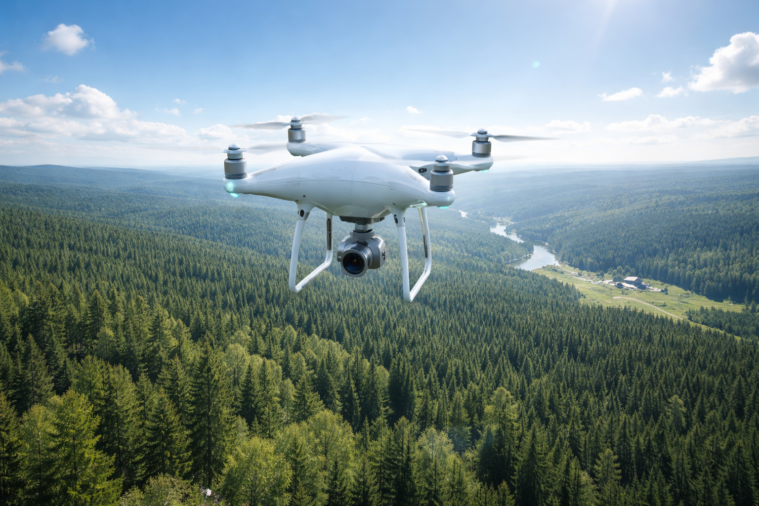
During field tests at the training grounds of the Irbeysky and Karaulny forestry enterprises of the Krasnoyarsk Territory, the optimal shooting parameters are being worked out - flight altitude, camera operation mode and type of equipment for various forest crops in Siberian climatic conditions. The materials are processed in digital photogrammetric systems. As a result, detailed terrain models and orthophotomaps with reference to the coordinate system have already been created.
Project manager Viktor Nemich explained to TASS that the task is not just to get a visual picture from the drone, but to form a reproducible and accessible methodology for the forester. The technology will allow to quickly assess the quality and volume of forestry works performed, eliminating time-consuming ground rounds. The introduction promises to reduce the burden on forestry personnel while increasing the reliability of reporting.
Read more materials:
- Drones and AI monitor the forest: Geoscan conducted the first digital survey in Russia
- AI will start looking for people: a neural network was created in Moscow to search for people lost in the forest
- MAI engineers have created a system for rapid detection of forest fires based on drones
Комментарии