The Russian private space company Sputnix has launched a publicly available website with open access to satellite images of Earth. This was reported in the developer's press service.
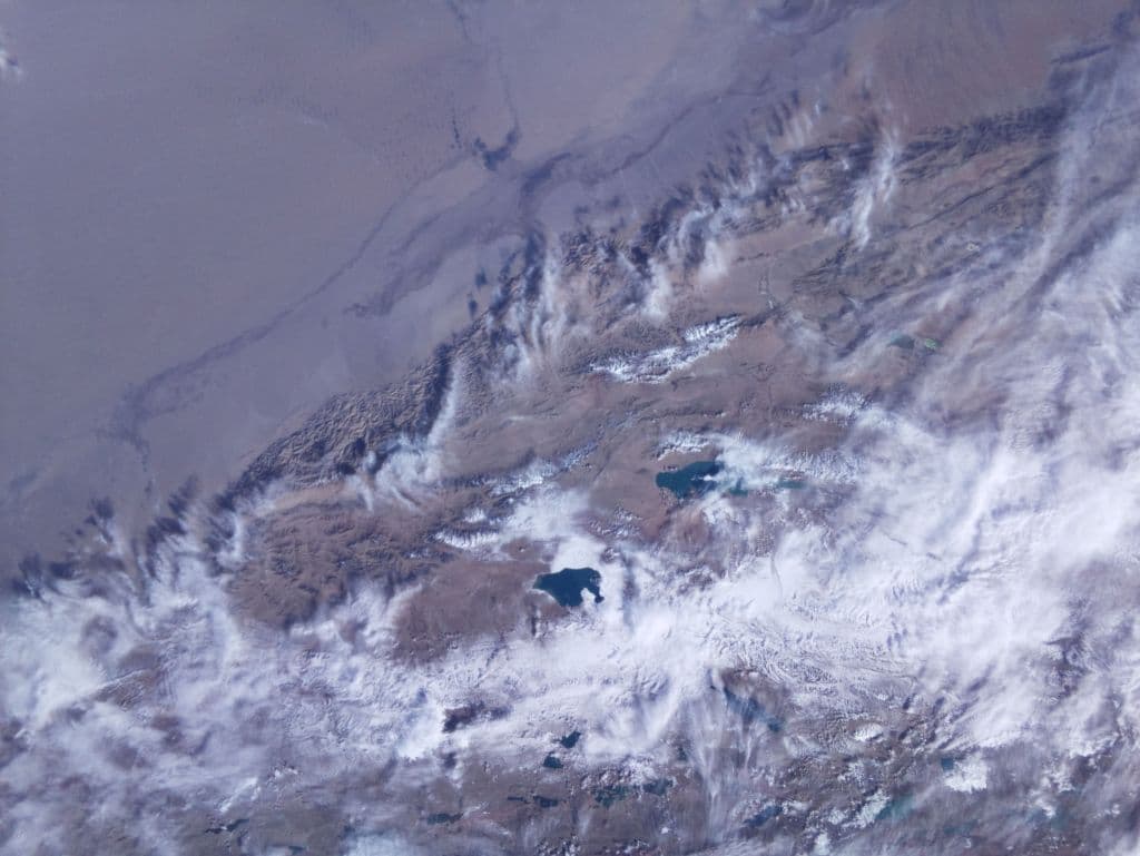
The images were created using survey cameras of CubeSat spacecraft. The resolution of the photographs is 200 meters/pixel at nadir. The site is updated daily with new images.
Users can work with the resource in various ways - from automatic processing to using graphic editors for manual work with data. All images are accompanied by metadata in the ".kml" format. This allows them to be displayed on maps and globes with reference to specific territories. Users can upload multiple images and study selected areas in detail.
Access to data from the portal is allowed for non-commercial, educational and scientific purposes.
Earlier www1.ru reported that a new group of Sputnix satellites will provide round-the-clock monitoring of the Northern Sea Route.
Read materials on the topic:
- This is a record: the Fregat booster of the Soyuz-2.1b launch vehicle successfully launched 53 small satellites into orbit
- Sputnix has implemented an AI module in its Orbikraft 3D spacecraft designer
- GTLK and Sputnix signed an agreement for the supply of three spacecraft
Комментарии