Terra Tech (part of the Russian Space Systems holding of Roscosmos) and the Naletay.RF marketplace (part of GTLK) have announced a partnership. The goal of the project is to provide businesses with access to Earth remote sensing (ERS) data through a unified digital platform.
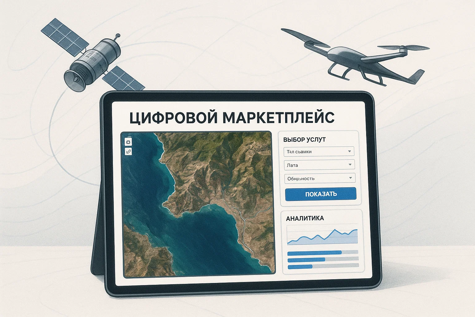
Terra Tech will supply satellite imagery, digital maps, and analytics for agriculture, forestry, construction, and other industries to the marketplace. Naletay.RF will provide users with a convenient interface for ordering these services along with solutions based on unmanned aerial systems (UAS).
According to Dmitry Fandeev, CEO of Naletay.RF, the integration of services will create a "single window" for comprehensive solutions combining space and UAS technologies. This will simplify access to geodata and improve the efficiency of clients' work.
This will provide users with unprecedentedly easy and fast access to in-demand industry-specific ERS products, significantly expanding their capabilities and increasing work efficiency. The combination of our ecosystems will open up new prospects for the digitalization of key sectors of the economy.
The agreement was signed at the Skolkovo Innovation Center as part of an exhibition of Russian space and unmanned technologies. The collaboration is expected to accelerate the adoption of ERS solutions in the commercial sector.
Subscribe to "First Technical" news on Google News to stay updated on the latest developments in the world of science and technology.
Read more on the topic:
Starlink in Russian: MTS plans to deploy 5G base stations on low-orbit satellites
Three-dimensional model of the Pavlov volcano in Alaska is being developed by Russian scientists
A new system for recognizing voice fakes called "Sipukha" has been created by MEPhI scientists
Комментарии