In St. Petersburg, the battle among navigation apps for road infrastructure data is intensifying. 2GIS has launched traffic light signal display in the city — drivers can now see the color of the nearest traffic light directly in the app.
The idea itself is not new: a similar feature has already appeared in Yandex Maps and Navigator. But now the focus is on scaling up — services are beginning to connect more actively to city systems and expand coverage.
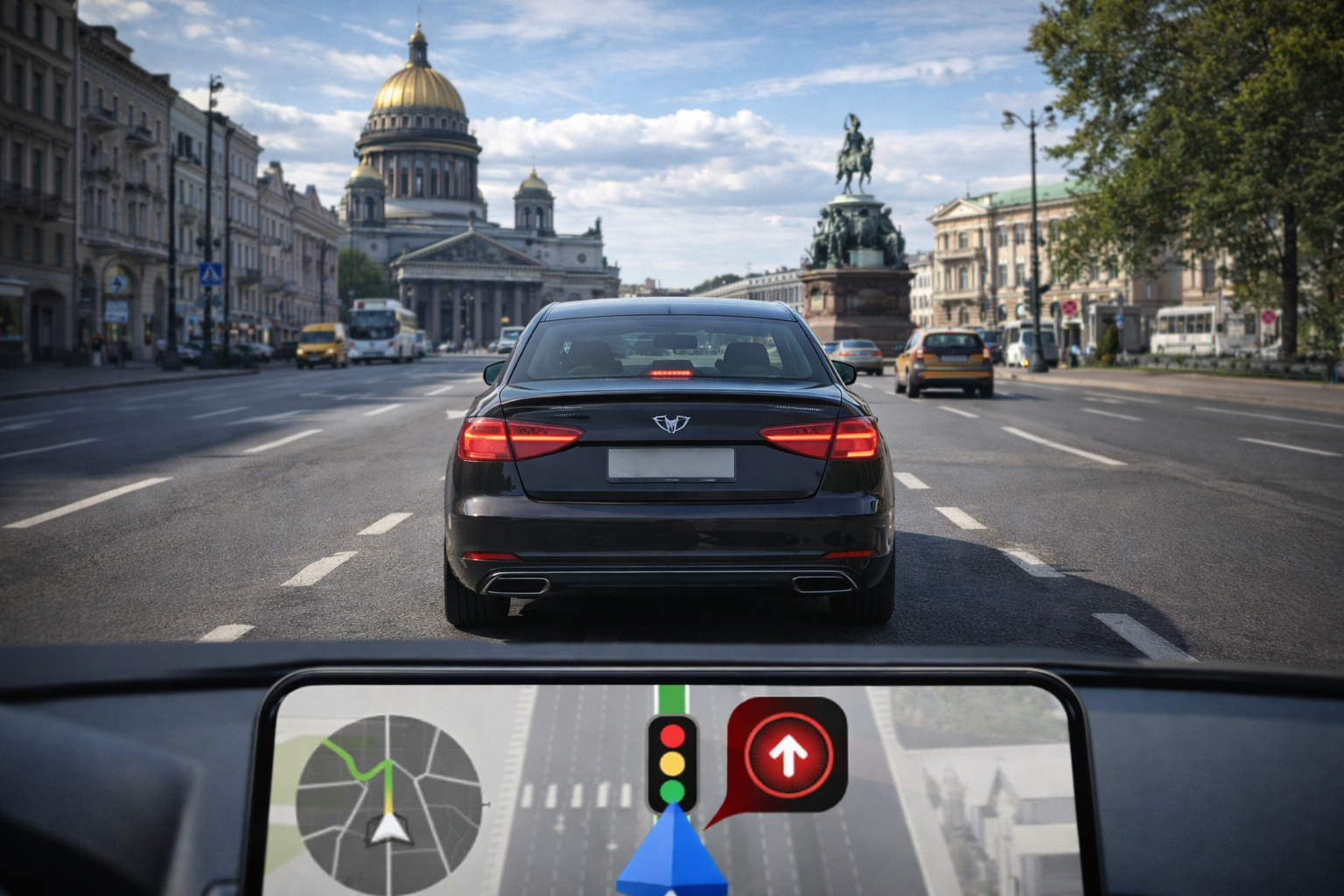
The option works while driving along a route: the navigator shows the signal of the nearest traffic light in advance, which is especially useful at busy intersections. For now, it is available in central districts, but they plan to extend it to all the city's "smart" traffic lights.
The company emphasizes that this is not just a visual update, but a new level of working with urban data — traffic light information becomes available to drivers in real time and directly affects behavior on the road.
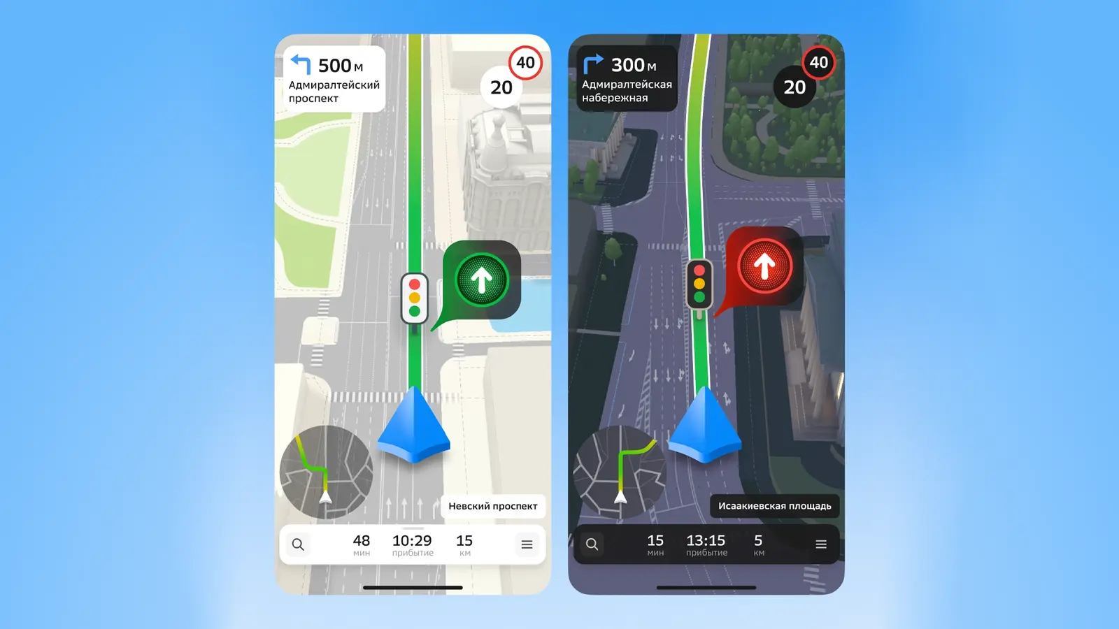
The service is available in the mobile app on iOS and Android, as well as on car multimedia screens via Apple CarPlay and Android Auto. In the future, they even plan to display the signals on the smartphone's lock screen.


Комментарии