The Russian group of companies (GC) "Unmanned Systems" has introduced a new aerial laser scanning system into the Supercam drone. These UAVs are used in oil and gas fields in the Yamalo-Nenets Autonomous District.
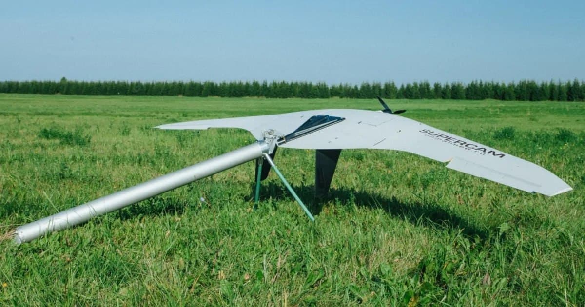
The drone received a system with an aerial laser scanner and a full-frame camera with a resolution of 45 MP. The measurement error of the system is only 5 mm.
When laser scanning the area, aerial photography of the area is carried out. The resulting "point cloud" can be used in any area where high accuracy of calculation is required. This includes construction, geodesy, cartography, electric power industry, and the oil and gas industry.
About Supercam 350
Wingspan - 3.2 m
Flight time - 4.5 h
Speed - from 65 to 120 km/h
Radio link range - 100 km
Video channel range - 70 km
Maximum flight range - 240 km
Maximum take-off weight - 15.5 kg
Operating flight altitude - from 150 to 5000 m
Read also on the topic:
Russian UAVs scared the Romanians: two F-16s were raised into the air to protect the border
A new cargo drone has appeared in Russia: it is already being tested
Комментарии