Specialists of Rosreestr in the Novosibirsk region completed aerial photography of 456 land plots in April 2025. The total area of the surveyed territories amounted to 200 hectares.
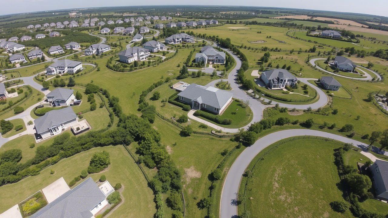
The shooting was carried out using unmanned aerial vehicles in the village of Tulinsky, Verkh-Tulinsky Village Council. The results obtained will be used by Rosreestr specialists to analyze the actual use of land. The data will help determine the coordinates of the boundaries of the plots, which is necessary to verify the accuracy of information in the Unified State Register of Real Estate.
The department noted that work will continue in May. Inspections will be carried out in gardening associations of the Sokolovsky Village Council of the Kolyvan district.
Rosreestr actively uses modern technologies to improve the efficiency of its work and ensure transparency in the field of land relations.
Read also on the topic:
More than 20 billion rubles were invested in drones in Russia
119 components for drones were developed in Russia
"Geoskan" occupies 40% of the market for state civil orders for drones